
![]()
![]()
![]()
![]()
![]()
East Coast gets slammed
Season's first snowfall dumps five more inches than predicted
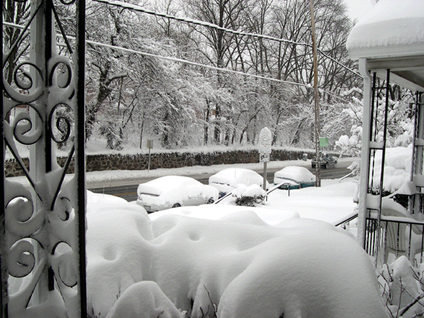
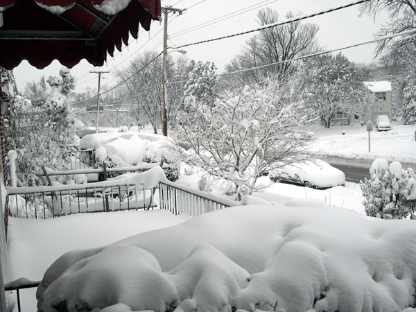
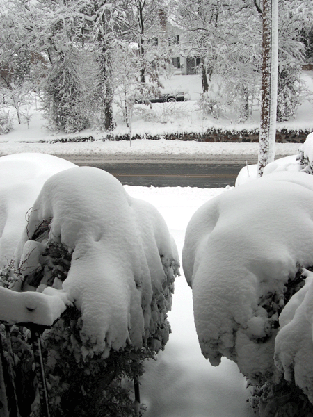
Despite earlier predictions of four to eight
inches, much of Maryland received a foot—and in some cases up to 18
inches—of a light, powdery snow as the first major storm of the 2006
winter season moved through the area. As of Sunday morning,
officials in
 Baltimore
County took the unusual measure of closing Interstate highways in
the county to all but emergency vehicles and personnel.
Baltimore
County took the unusual measure of closing Interstate highways in
the county to all but emergency vehicles and personnel.
In Catonsville, residents were rattled in the early morning hours by flashes of light and thunder when the storm intensified as it tracked along the Atlantic coast.
Frederick Road was slushy but passable at daybreak. County road crews had been hard at work throughout the night plowing and salting the highway, one of the county's snow emergency routes.
 As
of 9:00 AM light snow was continuing to fall throughout Baltimore
County. The snow is expected to taper off by noon today. Increasing
winds later today are expected to create problems with blowing and
drifting snow.
As
of 9:00 AM light snow was continuing to fall throughout Baltimore
County. The snow is expected to taper off by noon today. Increasing
winds later today are expected to create problems with blowing and
drifting snow.
The Baltimore Sun's Web site provides more extensive coverage of the storm and its aftermath. The photographs on this page illustrate results of the storm at its beginning and end.
It's snowing in Catonsville!
First snow of 2006 expected to be a major event
The National Weather Services has issued a Winter Storm Warning for Maryland and is predicting an accumulation of between 8 and 14 inches by daybreak on Sunday.
Issued at: 2:58 PM EST 2/10/06, expires at: 11:30 PM EST 2/10/06
 Heavy
snow warning in effect from 6 am Saturday to 6 am est sunday, The
NWS in sterling Virginia has issued a heavy snow warning, which is
in effect from 6 am Saturday to 6 am EST Sunday. The winter storm
watch is no longer in effect.
Heavy
snow warning in effect from 6 am Saturday to 6 am est sunday, The
NWS in sterling Virginia has issued a heavy snow warning, which is
in effect from 6 am Saturday to 6 am EST Sunday. The winter storm
watch is no longer in effect.
A low pressure system developing along the
gulf coast this evening will track northeast to the North Carolina
coast Saturday evening. Light snow will overspread the region from
southwest to northeast late tonight and Saturday morning. Snowfall
will intensify through the afternoon, with four to eight inches
expected across the area. Locally higher accumulations of up to ten
inc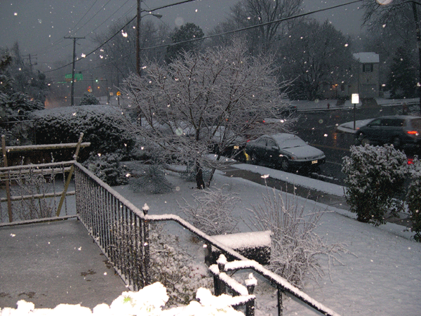 hes
are possible across lower southern Maryland. The snow is expected to
taper off late Saturday night.
hes
are possible across lower southern Maryland. The snow is expected to
taper off late Saturday night.
A heavy snow warning means severe winter weather conditions are expected or occurring. Significant amounts of snow are forecast that will make travel dangerous. Only travel in an emergency. If you must, keep an extra flashlight, food, and water in your vehicle in case of an emergency.
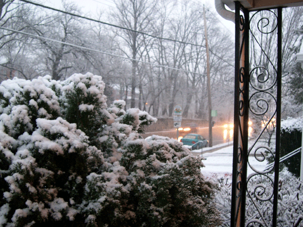
At 6:00 PM EST, snow was already beginning to accumulate on cars and grassy areas. If the storm intensifies overnight as expected, it is likely the snow totals may approach predicted amounts. The heaviest snow of the evening is expected by 8:00 PM.
![]()
Moody Media g Baltimore, Maryland g e-mail: info@moodymedia.us